From Enge to the Entlisberg
Here I retraced the steps from a 1930s hiking guide.

Shortly after I moved to Zurich, I found a book with hikes in and around Zurich at the fleamarket. The book was published as “Wanderaltas der Zürcher Illustrierten – Zurich-Sudwest” in 1933. Until today, I mostly amused myself by having a look at the advertisements inside the book. But after wondering what to do with this sunny Saturday, I decided to go on a suggested walk in the book, a 2 hour walk from Enge and Wollishofen to the Entlisberg. The hike is advertised as a “promenade through scarcely populated terrain.”
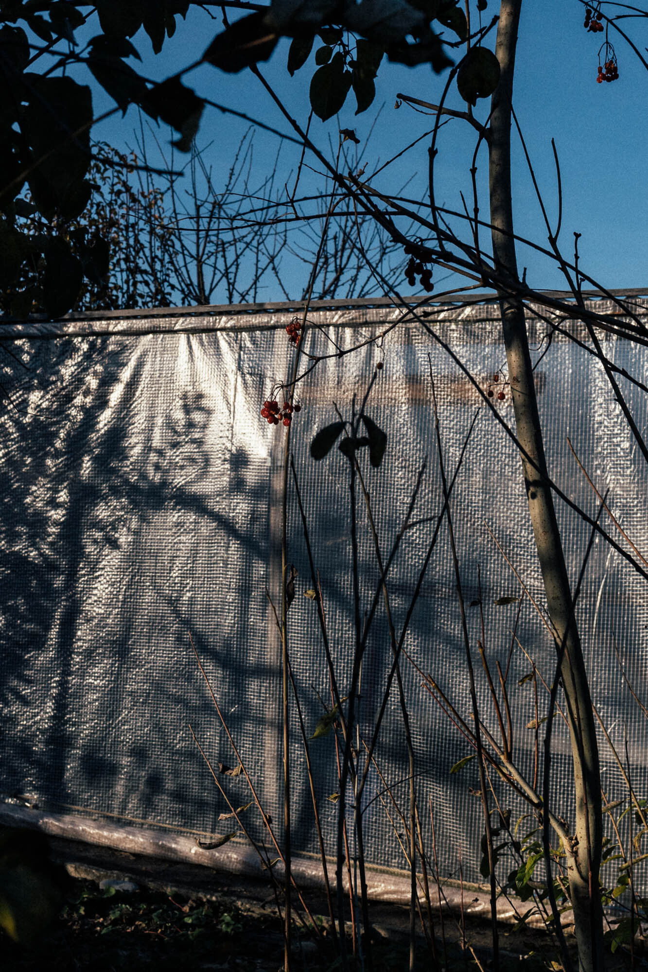
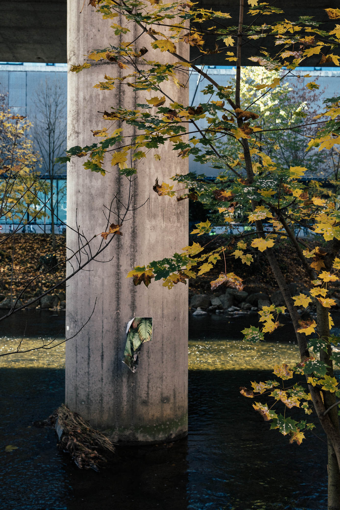
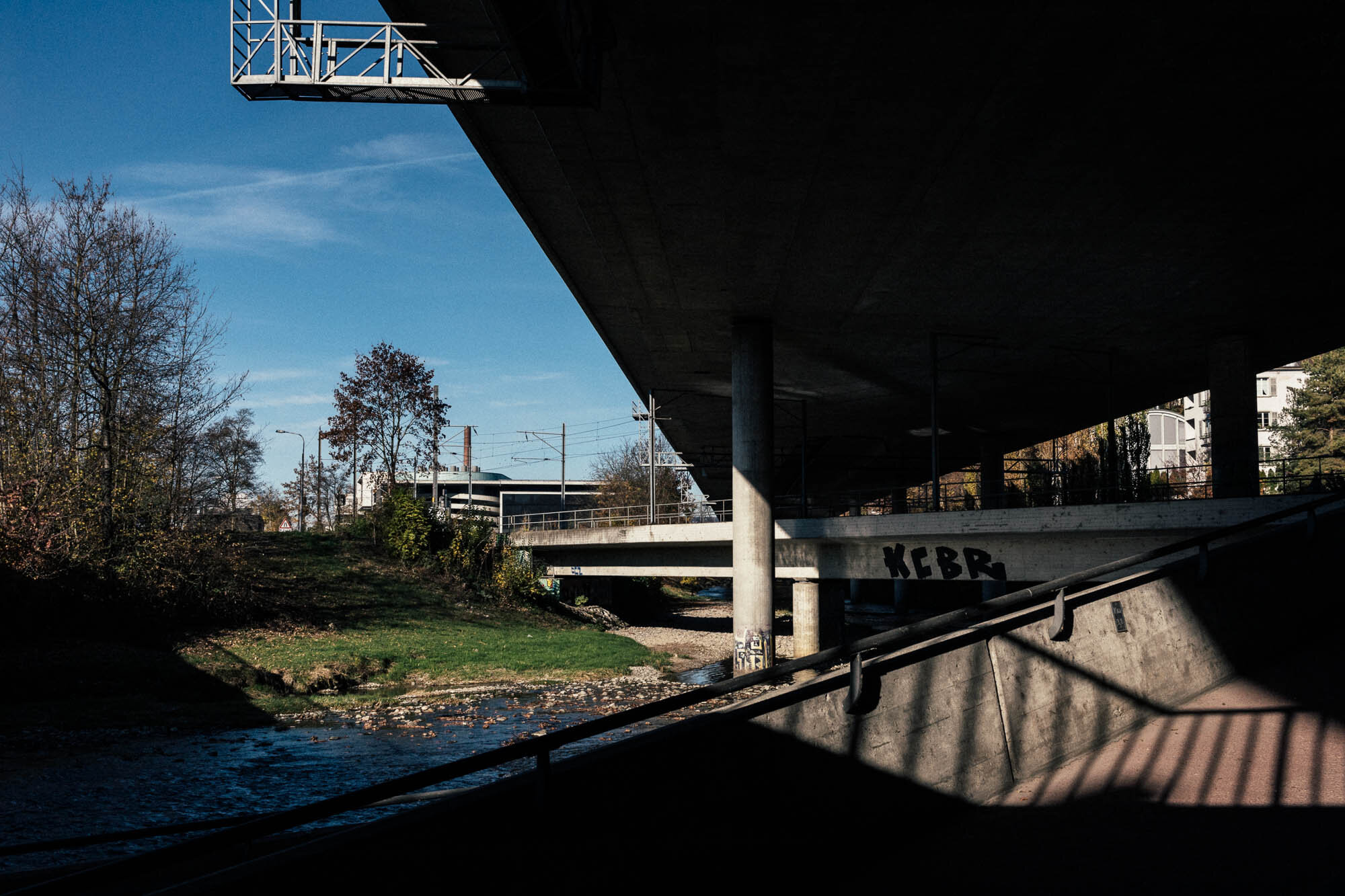
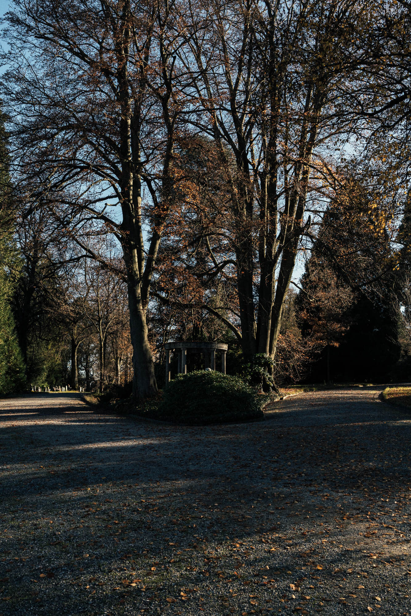
I could not have picked a better one, to explore how Zurich has changed since the 1930s. Much of the landscape the book is referring to, is ruptured by the motorway and new residental areas. The industry mentioned in the description of the hike – paper and cotton-spinning mills located next to the River Sihl – has vanished long ago. Its buildings either torn down or incorporated into new urban quarters. Other things remained, like the vast Manegg cemetery, the Gartenwirtschaft Muggenbühl or the old “Industrie-Kanal”– an artificial branch of the Sihl that was used to power to the mills.
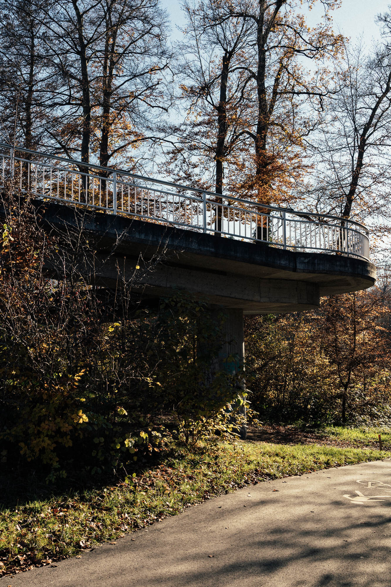
I got a bit lost around Manegg because the landscape had changed so much. Woods and meadows that were mentioned in the book had made way to residential areas and concrete roadways. So, in the end I might have deviated a bit from the original route. It was a nice walk, despite the constant roaring of the motorway that accompanied me right from the onset of my walk at the Utobridge, where the Zurich express route towers high above the Sihl.
It was an interesting experience to find my way following this old guide book. I took heaps of images that I planned to contrast with loosely translated quotes from the book. So, let’s go.


“Lessing Street (boulevard, continuation of Sihlpromenade) along the Sihl. Vis-a-vis: the paper mill at the Sihl […] fashionably furnished, producer of the world famous ‘Sihl Mills’ typewriter papers.”

“On the Brunau-Allmendstreet cross the tracks of the Sihltalbahn and head on to Brunau Station via on Allmendstreet.”
“Follow the small street on the ridge to the open air restaurant Muggenbühl.”


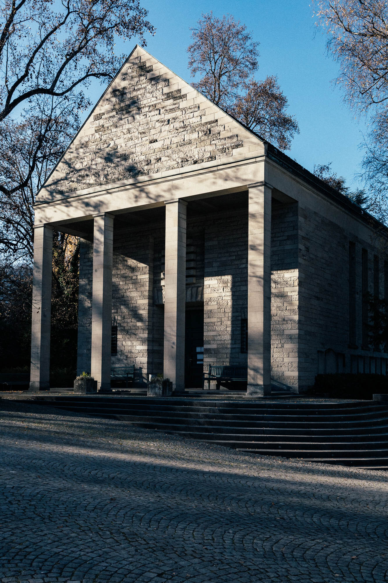
“Head on to Thujastreet leading straight to Manegg cemetery. New chapel, with big, shiny mosaic depicting the Ascension of Christ by Augusto Giacometti.”
“From the entrance head on to the right between cemetery wall and forest slope.”
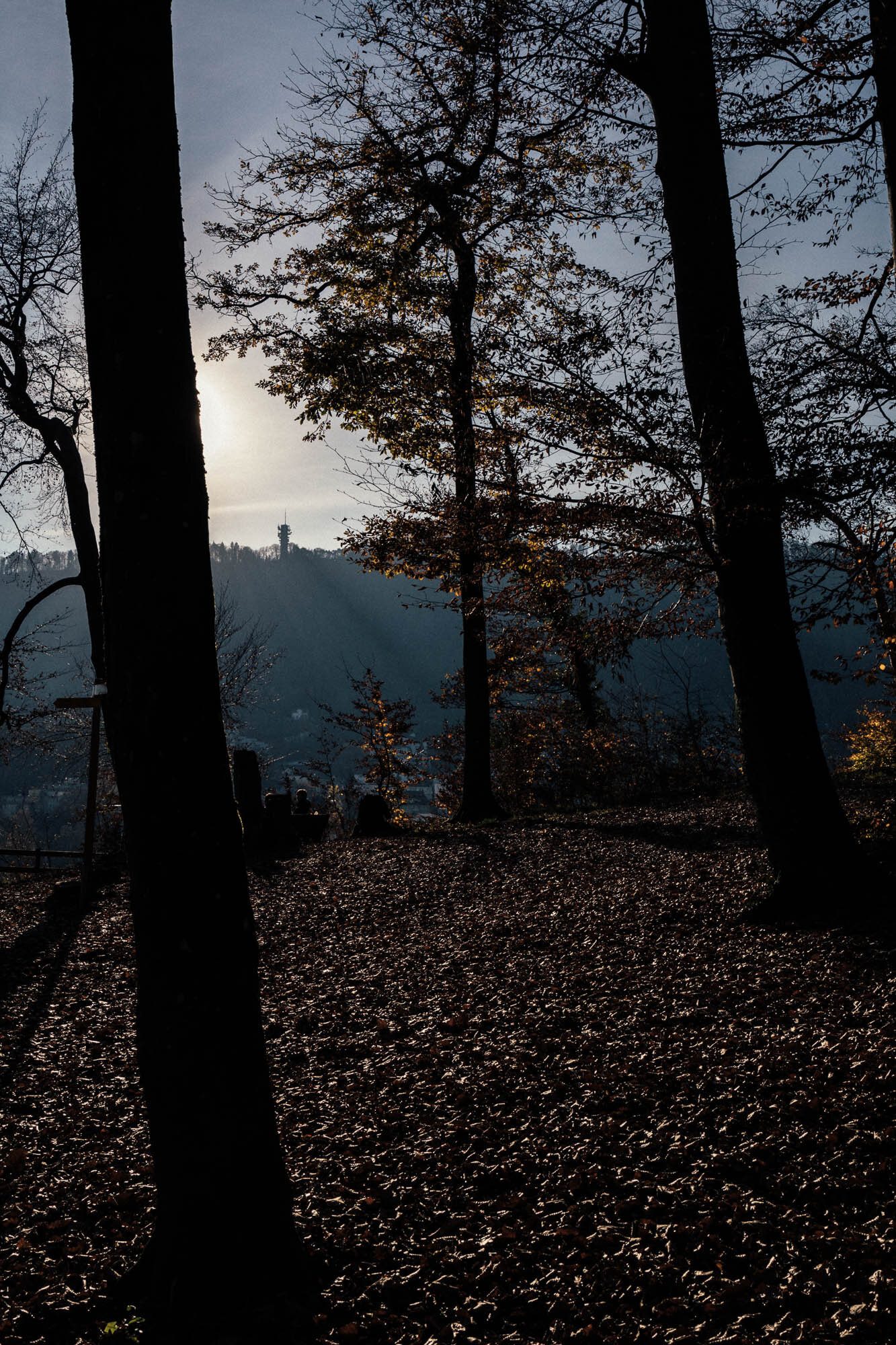
“The path leads you to an undeveloped meadow with great views."

“In the valley, the workshop and carpentry of construction firm Locher & Cie. and a factory branch of the paper mill at the Sihl, former cotton mill, now used to process raw materials.”

“In the forest we reach Butzenstreet where we descend to the factory canal.”
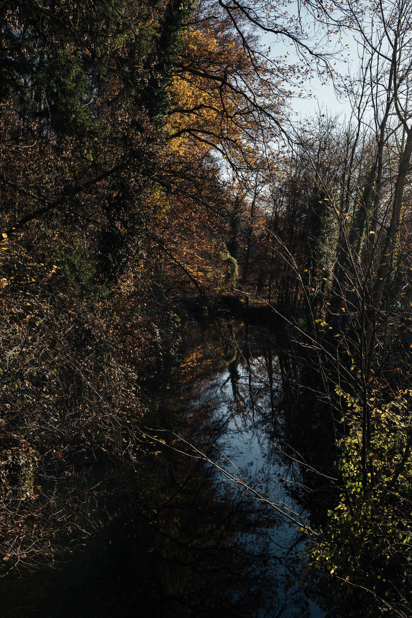
“From the bridge follow the canal, later the Sihl. Forest slope of the Entlisberg to the left, unspoilt beech flora. […] At the bend in the Sihl hike up to Entlisbergkopf.”


“Way back: follow the previously walked forest path without detouring on any sideways to the residential colony Entlisberg; after the first houses head to the tram station Wollishofen.”